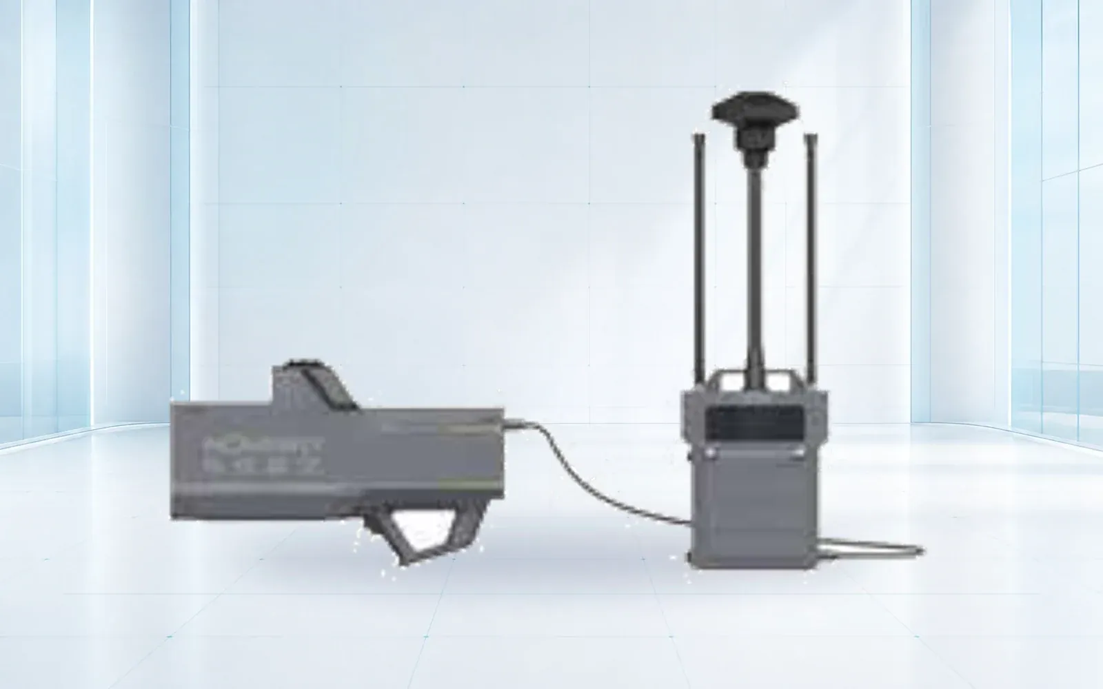
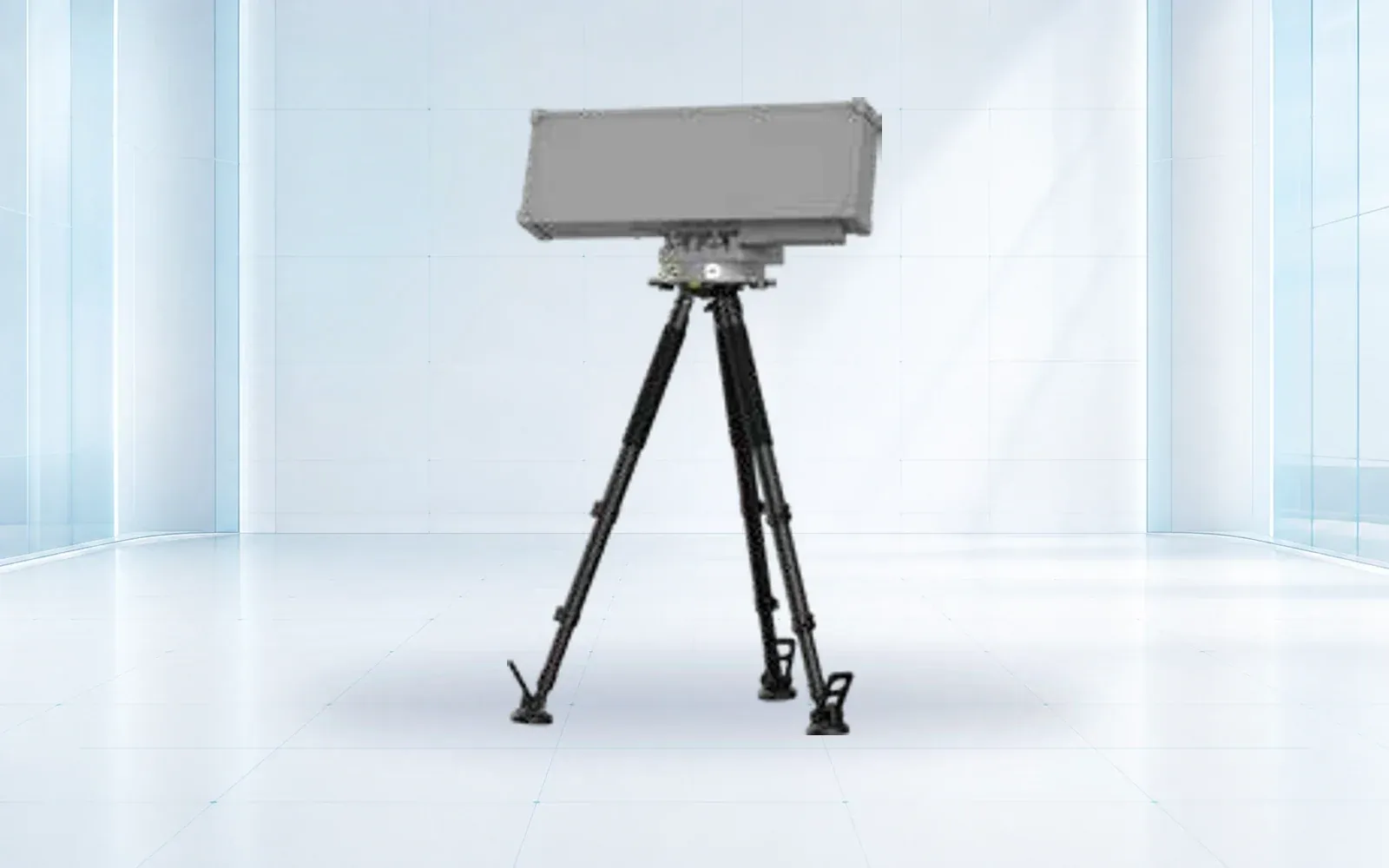
Low-altitude security · 10 configurations

Counter-UAS Detection & Response

Compare OMNI UXV radar, RF, electro-optical, jamming and navigation-response components for layered low-altitude security projects.

Category brief

Start with the operating problem

A counter-UAS deployment is a layered sensing and response architecture. Radar, RF detection and electro-optical confirmation solve different parts of the problem; site topology, background RF noise, target profile and response authority determine the right combination.

Active countermeasures can be restricted or prohibited in many jurisdictions. OMNI UXV treats detection, identification, tracking and response as separate design decisions, with project configuration subject to destination-country law, spectrum authorization and end-use review.

Product line

Counter-UAS products

Technology guide

How to design a counter-UAS system around the site and decision

A counter-UAS system combines detection, tracking, classification, identification, evidence and an authorized response workflow. It is not a single counter-drone radar or RF detector. Each sensing method observes different target behavior, and its performance changes with terrain, clutter, background radio activity, weather and the target set used in testing.

A buyer comparing a counter-UAS system supplier should begin with the protected volume, credible approaches, warning time and operator decision. The resulting architecture may be detection-only. Active RF or navigation-response functions are separate design and authorization questions that must not be assumed from the availability of hardware.

Last reviewed: July 2026

01Range, bearing and track awareness independent of a target control signal

Counter-drone radar

Radar can observe motion and support continuous tracks, including targets that do not transmit a familiar protocol.

Selection note: Define target size, speed, altitude, clutter and probability-of-detection test routes before comparing range.

02Protocol, link and possible controller-location clues

RF drone detection

RF sensing is passive and can add identification context when the aircraft or controller emits a supported signal.

Selection note: Test against the actual spectrum environment and include autonomous, silent and unfamiliar links in the threat model.

03Visual classification, operator confirmation and evidentiary imagery

Electro-optical verification

A camera layer can confirm a cued target and preserve visual context, but acquisition depends on cue quality, light and atmosphere.

Selection note: Measure cue-to-image time, target retention and useful image quality across representative backgrounds.

04Locally permitted intervention under defined command authority

Authorized response layer

Jamming or navigation-response equipment may form a separate project layer where law, spectrum and safety controls allow it.

Selection note: Confirm legal authority, bands, safety boundaries, abort conditions and immutable action logging before configuration.

01

Threat and site model

Map approach corridors, clutter, protected volume, target types and acceptable alert latency.

02

Sensor fusion

Use complementary radar, RF and visual confirmation to reduce blind spots and nuisance alarms.

03

Response authority

Confirm who may act, which radio bands are lawful and what evidence must be retained.

Quick comparison

Counter-UAS product comparison
ModelPrimary roleSelected specificationsDetails
NI-R5000+Low-altitude detectionSensor type: Active detection radar · Deployment: Fixed or mobile, project-configuredOpen →
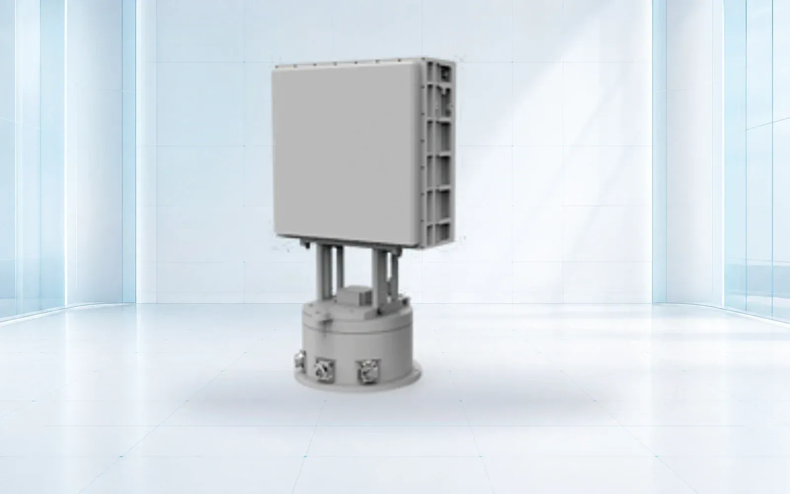
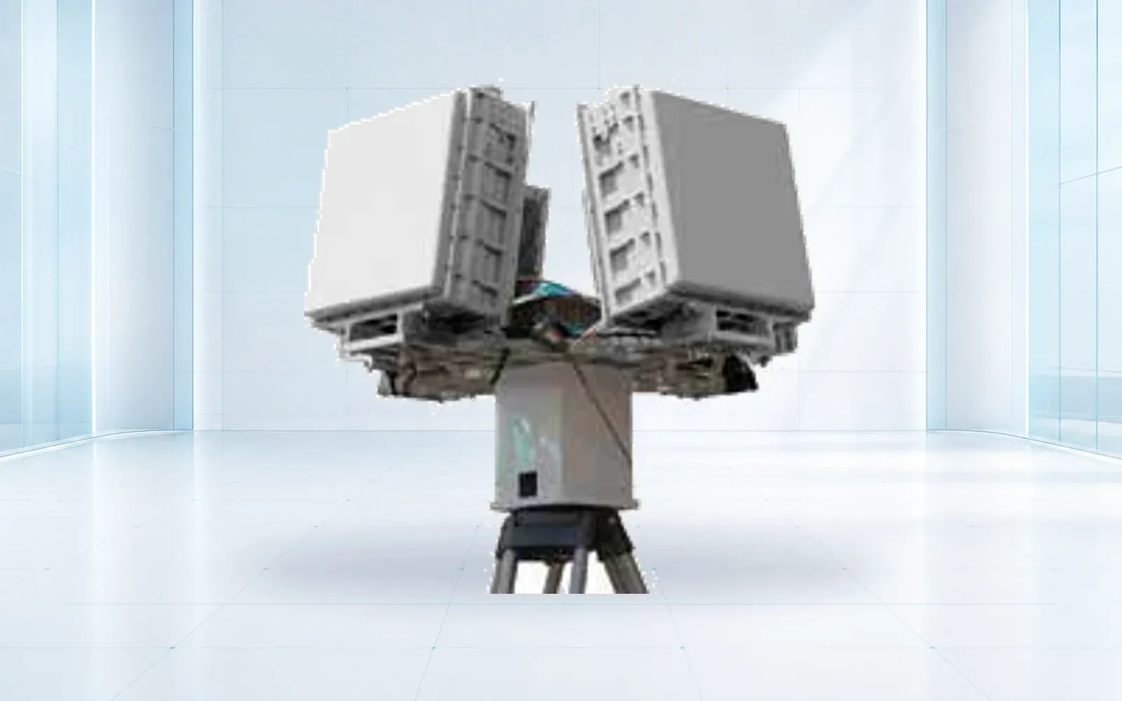
NI-SR3000Compact phased-array sensorArchitecture: Array radar · Coverage: Sector coverage, installation-dependentOpen →
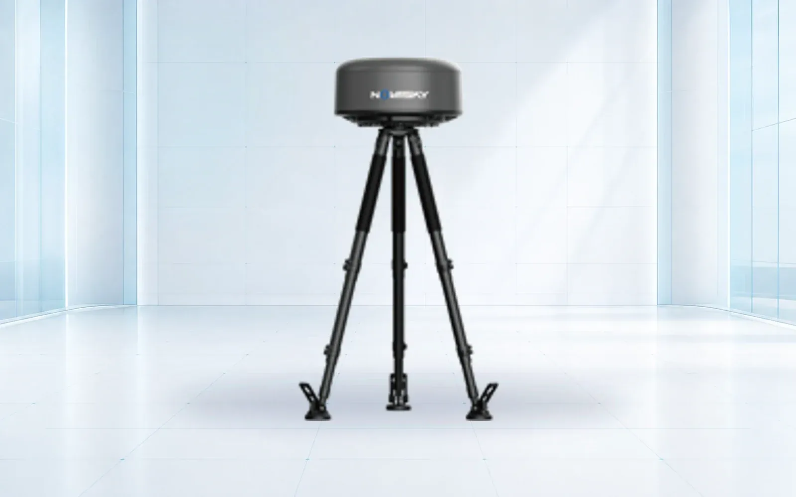
NI-QR5000360-degree detectionArchitecture: Omnidirectional array radar · Azimuth coverage: 360° reference deploymentOpen →
NI-S3000Passive spectrum awarenessDetection method: RF spectrum detection · Emission: Passive monitoringOpen →
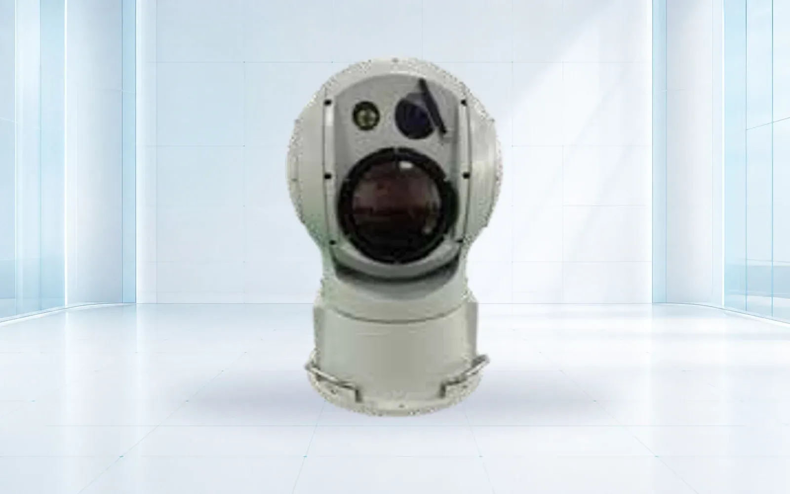
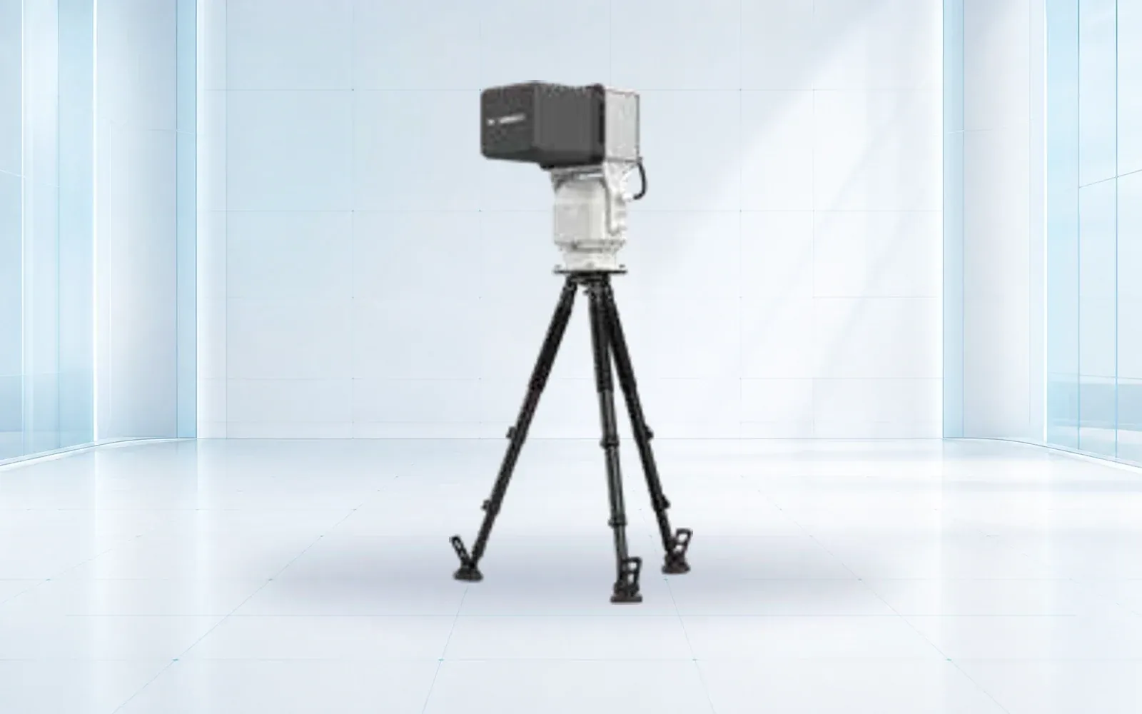
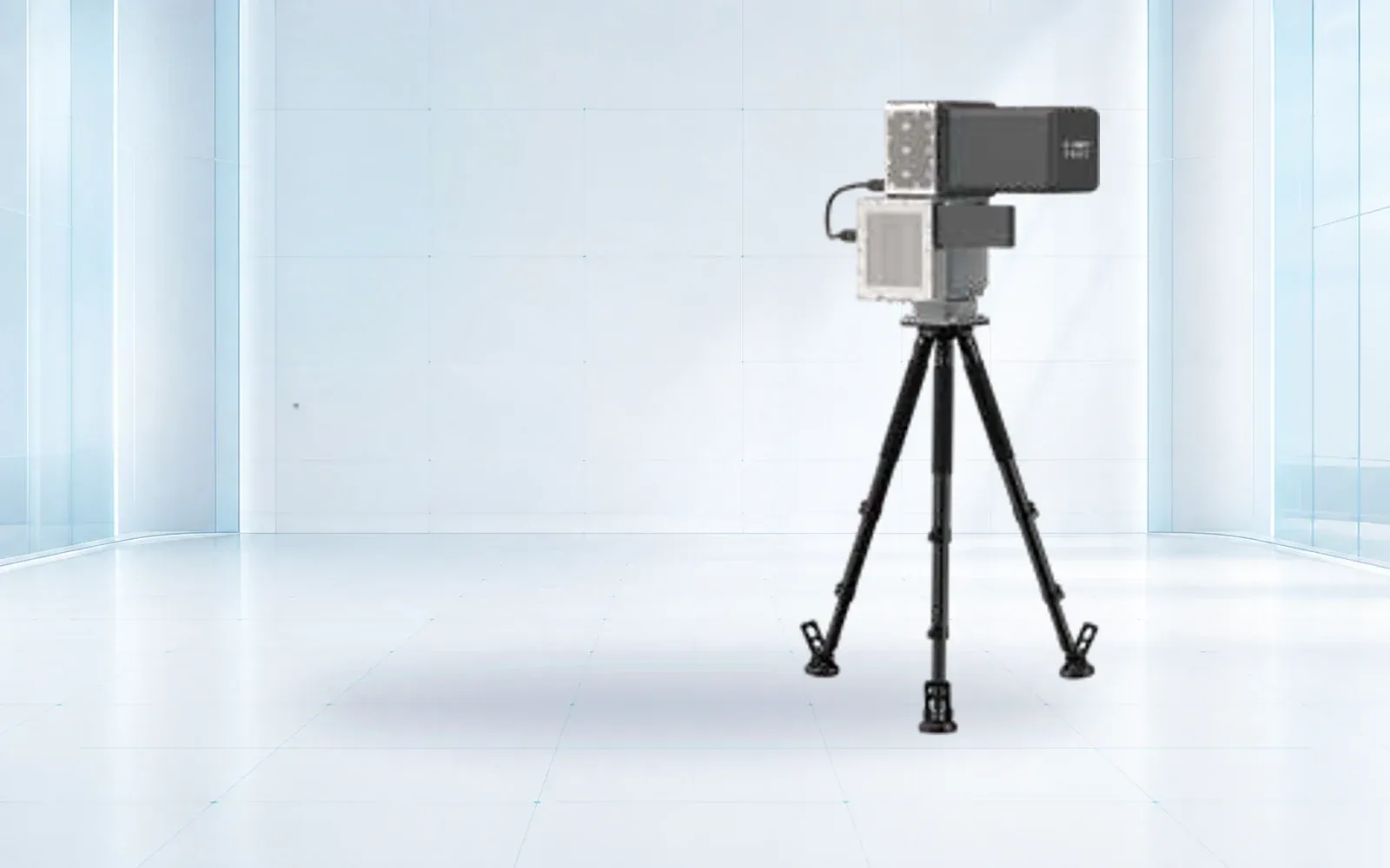
NI-C3000Visual confirmationSensor role: Electro-optical confirmation and tracking · Imaging: Visible and thermal configurationsOpen →
NI-J3000Electronic countermeasureReference frequency range: 300 MHz–6 GHz, software-configured · Reference effect time: ≤3 sOpen →
NI-JG5000Layered electronic responseInterference configuration: 300 MHz–6 GHz channels · Navigation signals: GPS, BDS and GLONASS reference bandsOpen →
NI-G3000Controlled navigation responseSignal types: GPS L1, GLONASS L1, BDS B1, Galileo E1 · Reference orientation: 360°Open →
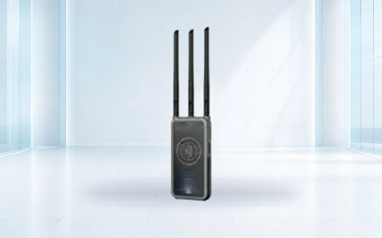
NI-S2000HPortable RF reconnaissanceDetection bands: 300 MHz–6 GHz · Reference open-area range: ≥2 kmOpen →
NI-SJG2000BMobile detection and responseDetection band: 300 MHz–6 GHz · Reference detection distance: ≥3 kmOpen →

Buyer workflow

From requirement to accepted configuration

Use the same decision sequence for every shortlisted product so that published specifications, project assumptions and delivered evidence remain comparable.

  1. STEP 01

    Model target and protected volume

    Map target classes, approach corridors, clutter, public interfaces and consequence zones.

    Output: Threat, target and site test matrix

  2. STEP 02

    Assign evidence to each layer

    State what radar, RF, camera and operator observation must contribute to a decision.

    Output: Layer roles and event dictionary

  3. STEP 03

    Design the operator workflow

    Define corroboration, zone rules, escalation, authority, degraded modes and evidence retention.

    Output: Incident and authority workflow

  4. STEP 04

    Run representative acceptance

    Test target routes and long no-target periods, then include sensor and network outages.

    Output: Detection, nuisance and handoff results

Acceptance evidence

What the project should verify before handover

Acceptance areaRequirementEvidence
DetectionRepresentative targets are detected across agreed approaches and backgrounds.Route-by-route probability and initiation record
Track qualityTracks remain useful through the protected volume and cue the next layer.Continuity, error and cue-time results
Nuisance controlNormal site activity does not overwhelm operators.Non-target operating-hour alarm record
Incident evidenceA complete timeline can be exported with source observations and operator actions.Reconstructable incident package

Before requesting a quotation

Questions a serious buyer should resolve

  1. 01Which target classes and flight profiles support each published range figure?
  2. 02How are radar, RF and visual observations correlated without hiding source uncertainty?
  3. 03What remains available if a sensor, network path or mapping service is lost?
  4. 04How many nuisance alarms occur per operating hour in representative site clutter?
  5. 05Which response functions are technically available, legally permitted and assigned to a named role?

Selection questions

Can one sensor detect every drone?
No. Small aircraft, autonomous flight, terrain masking and congested RF environments create different blind spots. Layered sensing and site testing are normally required.
Does OMNI UXV sell jammers everywhere?
No. Availability depends on destination, end user, spectrum rules and export controls. A compliant project may be detection-only or integrate a locally authorized response layer.
How is nuisance-alarm performance evaluated?
The evaluation should use site-specific clutter and representative targets. Detection probability, track continuity, classification confidence and false-alarm rate should be measured together.
ENGINEERING & CONSULTATION

Configure a Counter-UAS system

Share the site, mission, payload, performance target and destination country. Our team will return a traceable configuration rather than a generic product list.

Start a technical inquiry