
Start with the decision in the field
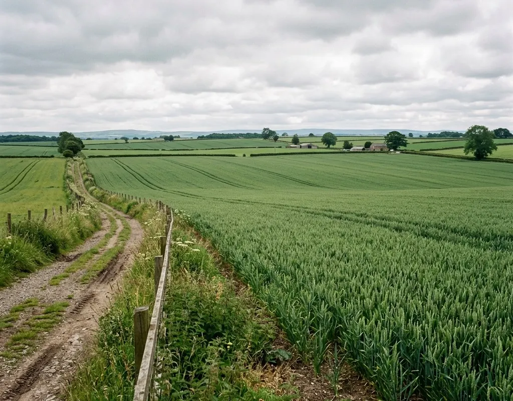
“Monitor crop health” is too broad for a technical requirement. The buyer should state the decision: identify zones for field inspection, measure emergence uniformity, compare treatment blocks, estimate canopy development or prioritize irrigation checks. Each decision implies a different revisit interval, spatial resolution and validation method.
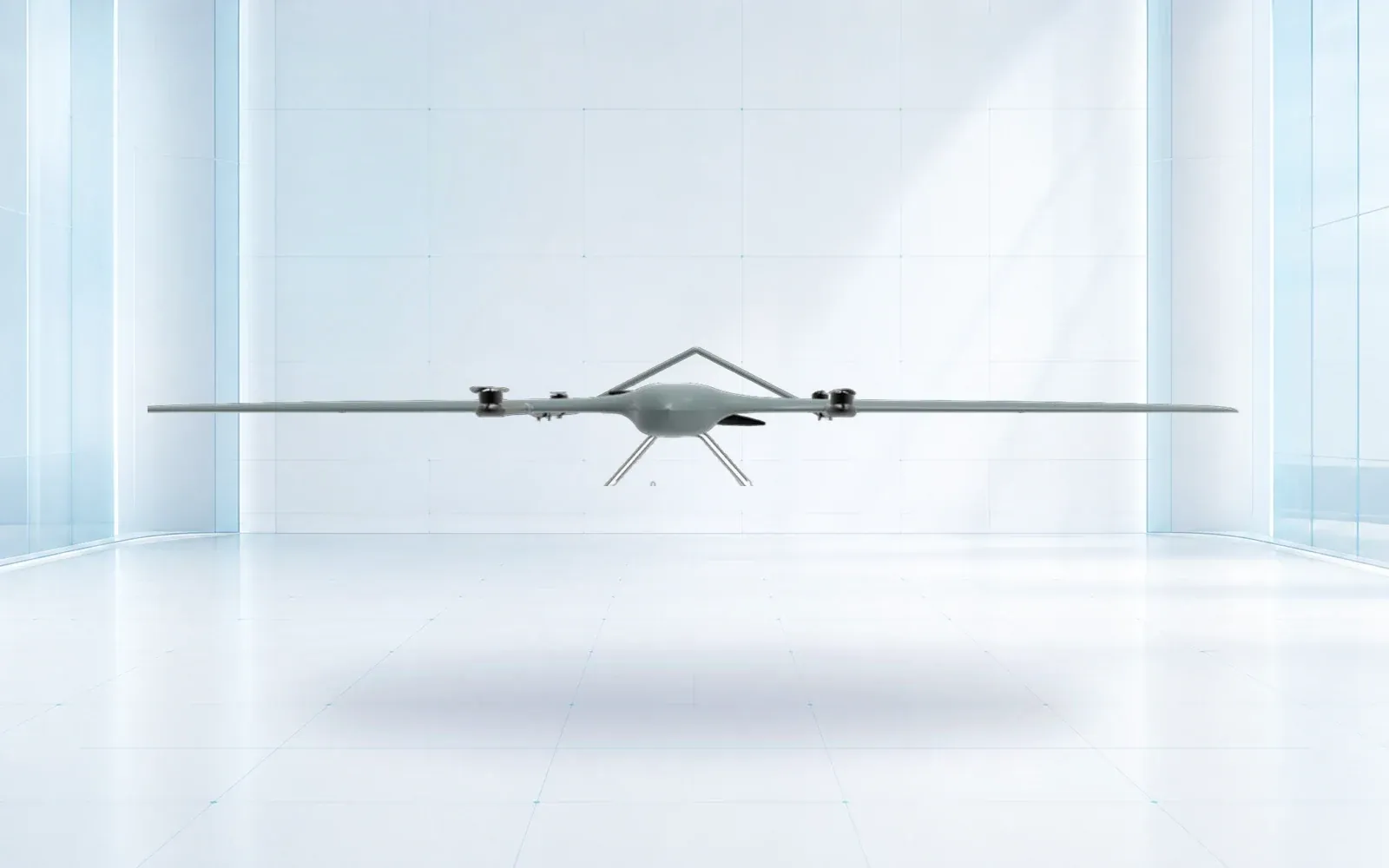
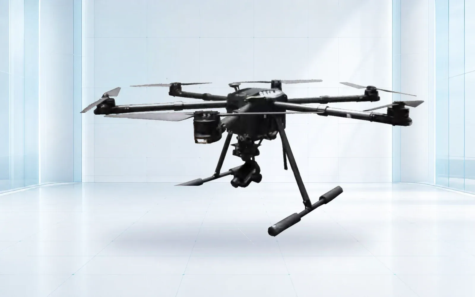
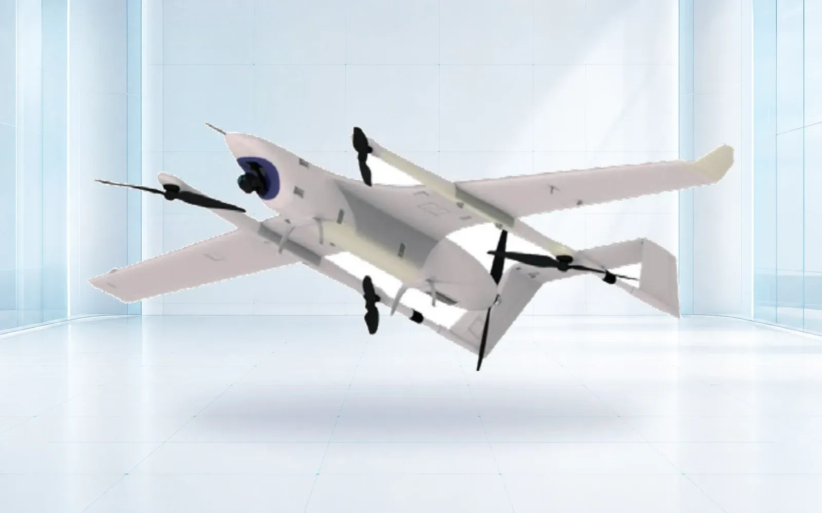
The precision agriculture UAV architecture starts with this decision chain. Aircraft selection follows the field shape, launch access, required payload and time window.
| Planning variable | Question to answer | Why it matters |
|---|---|---|
| Ground sampling distance | What is the smallest feature that must be resolved? | Sets altitude, lens and coverage rate |
| Spectral bands | Which crop response is being evaluated? | Determines payload and calibration method |
| Revisit timing | How quickly can the condition change? | Shapes fleet capacity and weather tolerance |
| Field truth | Which observations validate the image pattern? | Prevents a color difference becoming an unsupported claim |
| Delivery format | Who will use the result and in which system? | Defines processing, coordinates and metadata |
Calibration makes dates comparable
Automatic exposure can make a useful-looking image while weakening comparison across flights. Multispectral work may require reference panels, irradiance measurement, consistent sensor settings and crop-specific interpretation. The USDA and FAO-indexed research cited below both illustrate why calibration belongs in the workflow rather than in a footnote.
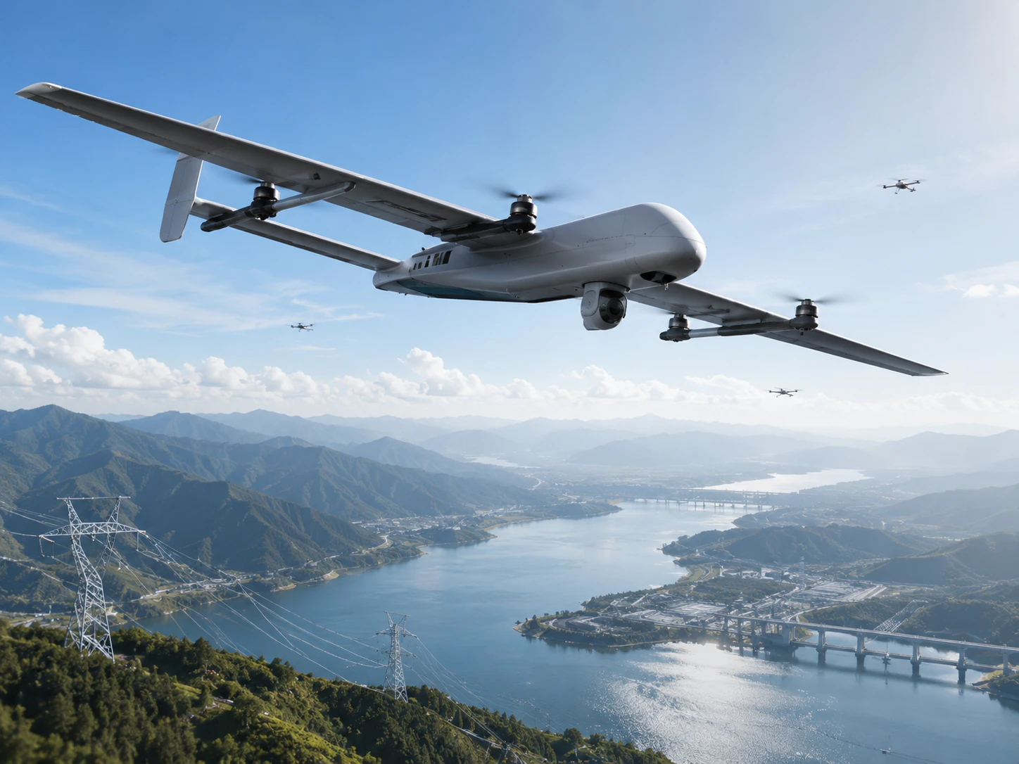
Record the sensor, lens, firmware, altitude, overlap, exposure method, calibration images, illumination and processing version. If those variables change, the team should know whether the result remains comparable.
Field truth keeps the map honest
An index or classification shows a pattern, not its cause. Water stress, nutrient variation, disease, soil, shadow and sensor effects can overlap. Plan field observations or samples at representative locations and keep their coordinates and timing with the flight record.
This does not make every project a research trial. It makes the output traceable enough for an agronomist or operator to decide whether a pattern deserves action.
Accept the ground product
Flight endurance, route completion and image count are intermediate measures. Acceptance should evaluate coverage gaps, ground resolution, georeferencing, calibration completeness, processing records and whether the final layer opens correctly in the buyer’s system.
The industrial UAV systems guide helps compare VTOL and multirotor mission fit. The datasheet reality check explains how to turn payload and endurance claims into an acceptance test. Additional documentation practices are available in the technical resource hub.
Size the operation around the decision window
Field area alone does not determine fleet capacity. Daylight, crop stage, wind, illumination, battery turnaround, travel between fields, calibration, upload and processing all consume the available window. A system that can theoretically cover 1,000 hectares may produce far less comparable data when flights must occur near the same illumination and finish before a management decision is due.
Build a capacity model using the accepted mission, not the maximum brochure coverage:
| Capacity input | Planning question | Common omission |
|---|---|---|
| Usable flight cycle | How much area is captured after reserve and turns? | Quoting straight-line endurance |
| Calibration time | How often are panels or irradiance checks required? | Treating calibration as zero time |
| Field movement | How long between launch sites and blocks? | Assuming one continuous area |
| Weather loss | What proportion of the decision window is realistically usable? | Planning on every daylight hour |
| Processing and review | When can an agronomist receive a checked output? | Counting upload as delivery |
This model helps decide whether the project needs a faster aircraft, more batteries, another crew, distributed processing or a narrower measurement promise.
Govern the processing chain
Record the software, processing settings, coordinate system, calibration method and any manual edits used to create the deliverable. Machine-learning classification should identify the training or validation context relevant to the crop and region. If a model or processing version changes, test whether outputs remain comparable with earlier flights.
Keep raw imagery and calibration records according to the buyer’s retention needs. The final layer should link to a quality report covering gaps, blur, exposure, ground control, coordinate accuracy and excluded areas. An attractive mosaic can still be unsuitable if missing strips or inconsistent calibration occur in the part of the field that drives the decision.
Use a pilot to prove the whole decision chain
A useful pilot includes representative field variation and ends with a real user applying the output. Agree the question, collect field observations, fly the accepted configuration, process the data, review uncertainty and document what action—if any—the result supports. Repeat a subset to check whether the method produces comparable results.
Acceptance should therefore measure more than flight success. It should test time from request to checked deliverable, coverage completeness, repeatability, compatibility with the farm or analytics system and the effort required from field staff. The technology creates value only when the data arrives in time, with enough context and confidence for someone to act.