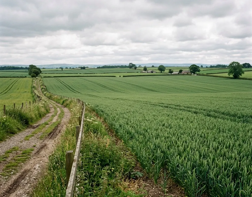
A map is not yet a decision
Imagery must answer a field question and arrive within the crop-management window with known uncertainty.
Repeatable field intelligence · Reference architecture
A survey-to-decision workflow for crop mapping and field intelligence, with payload, calibration and data quality defined before aircraft selection.
Operating context
Aerial agriculture projects create value when imagery becomes a repeatable management decision. Coverage speed alone does not guarantee useful data; ground sampling distance, spectral calibration, timing and field truth determine the result.
The reference architecture favors VTOL platforms for larger areas and multirotors for targeted observation. Local aviation, privacy and chemical-application rules remain separate requirements.
Problem definition
These challenge areas determine the architecture, operating model and acceptance evidence for the site.
Imagery must answer a field question and arrive within the crop-management window with known uncertainty.
Illumination, sensor settings, crop stage, calibration and processing changes can resemble crop change.
Stress, disease, soil, shadow and sensor effects can produce similar image patterns without field observations.
Layered architecture
Product references show a viable starting point. Interfaces, quantities, ranges and legal availability are confirmed during project engineering.
VTOL aircraft cover larger fields from compact launch areas with a selected mapping payload.
Multirotor aircraft hover for close inspection and follow-up data collection.
Camera, multispectral or other payload integration is validated with ground references and processing.
Operating model
The operating model gives every sensing and platform layer a defined input, handoff and output.
State the field decision, smallest feature, revisit interval and responsible user.
Output: Measurement and decision specification
Choose aircraft, sensor, altitude, overlap, calibration and ground control.
Output: Repeatable acquisition template
Link imagery to field observations and preserve software, settings and exclusions.
Output: Quality-controlled field layer
Provide the output in the buyer’s system and record whether it supported action.
Output: Decision-linked delivery record
Implementation sequence
The sequence is intentionally phased so that site facts, interfaces and operator behavior can change the design before broad deployment.
Define fields, crop stage, output, validation points and operational limits.
Confirm payload, overlap, ground resolution, lighting controls and processing workflow.
Freeze the mission template and use field checks to interpret changes across dates.
These are design outcomes, not a claim that a specific result has already been achieved at an unnamed customer site. Project acceptance criteria are agreed for the configured system.
Acceptance matrix
| Area | Requirement | Evidence |
|---|---|---|
| Coverage and resolution | The required field area and feature size are represented without material gaps. | Coverage and ground-resolution report |
| Calibration | Sensor, illumination and reference records support comparison. | Calibration and acquisition log |
| Ground validation | Representative field observations are linked to image patterns. | Georeferenced field-truth dataset |
| Usable delivery | The result reaches the agronomic user in the agreed format and time window. | Accepted layer and review record |
Equipment context
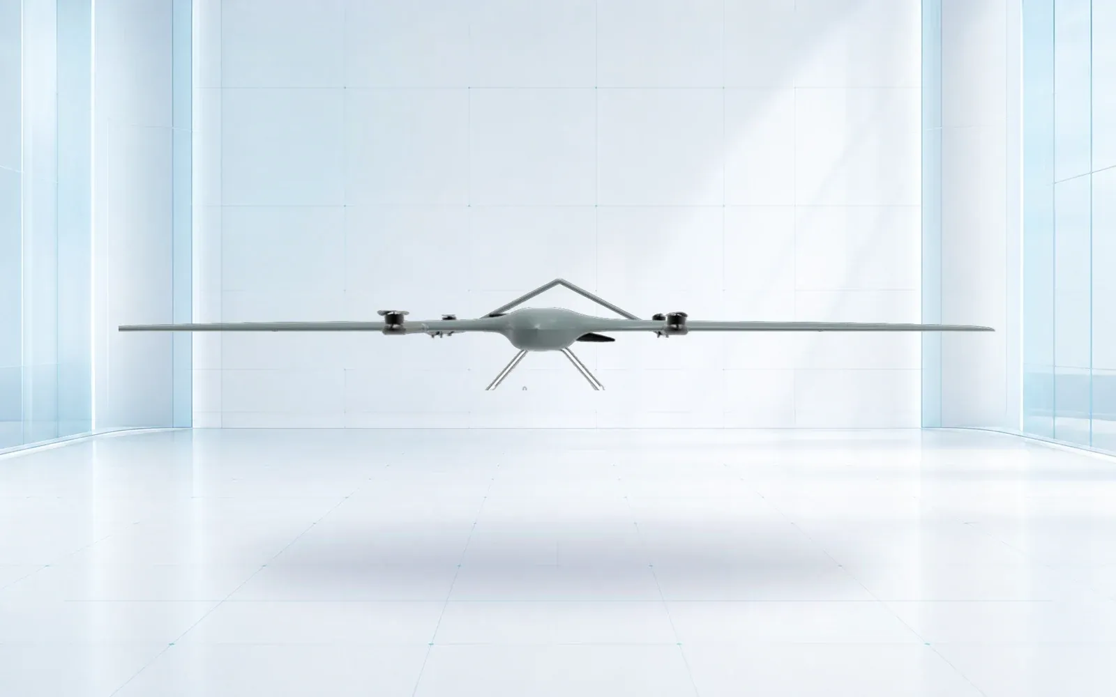
Survey and mapping platform

Long-endurance tilt-rotor
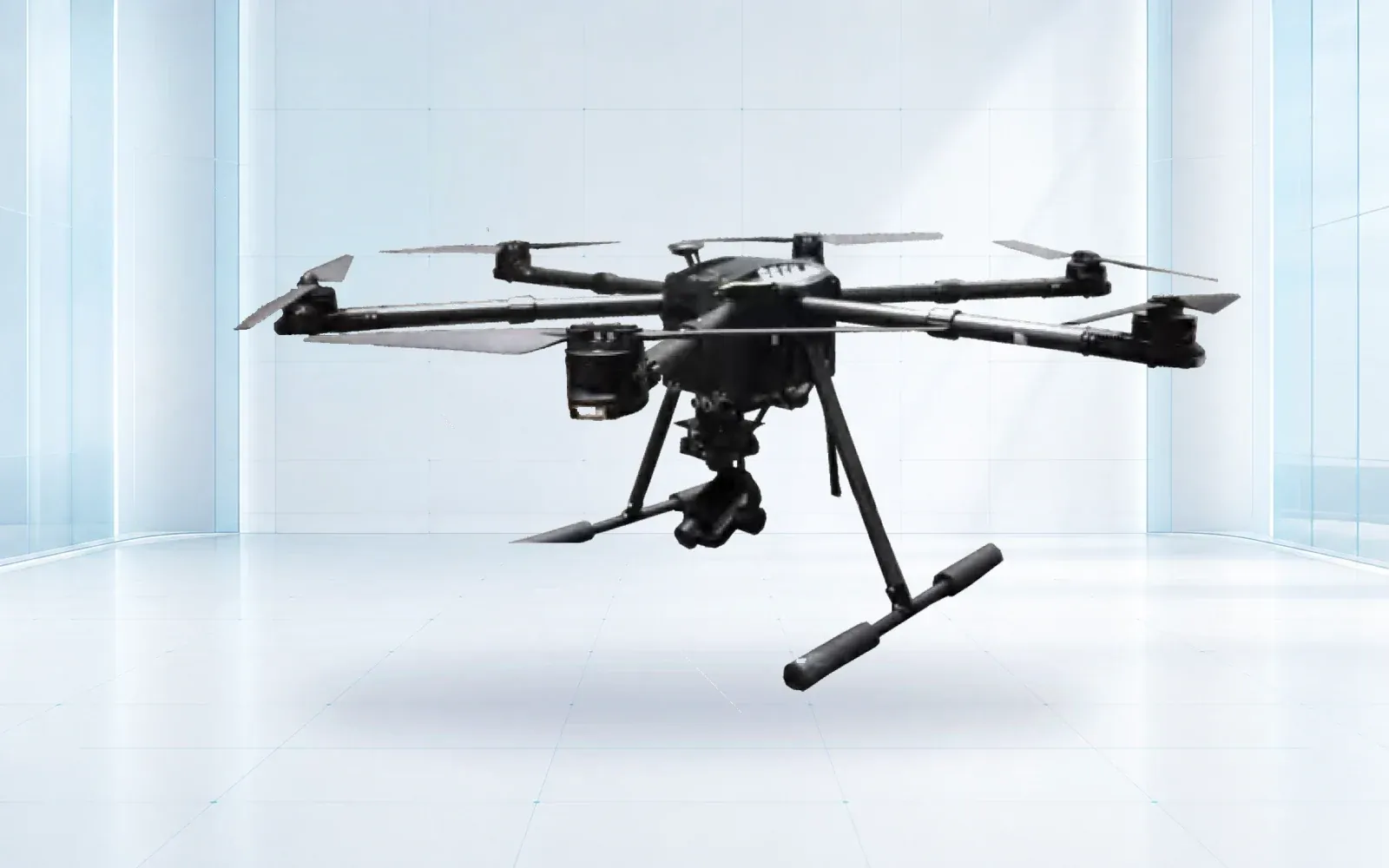
All-weather multirotor

Long-range aerial platform
Technology pillars
Evidence base
These sources provide public-sector or research context. The final project still requires destination-specific engineering, policy and legal review.
USDA Agricultural Research Service
Research summary distinguishing scouting, monitoring and prescription uses.
USDA Agricultural Research Service
Recent research illustrating task-specific sensor and validation tradeoffs.
Share the mission, operating environment, existing systems, destination and required evidence. We will return a traceable architecture and configuration shortlist.
Start a technical inquiry