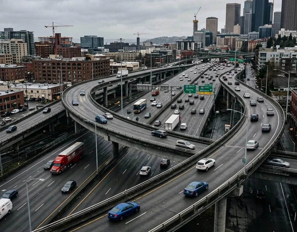
Geometry shapes the data
Lanes, curves, grades, queues, large vehicles and mounting position affect detection and classification.
Road sensing and governance · Reference architecture
Radar-video sensing, warnings, access control and platform integration designed around road geometry, data contracts and privacy.
Operating context
Transportation technology is not finished at the sensor. Lane geometry, time synchronization, evidence rules, maintenance and integration decide whether measured events can be trusted by operators.
The reference architecture separates measurement, local warning and platform workflows. Privacy and cybersecurity requirements are treated as design inputs rather than documentation added after installation.
Problem definition
These challenge areas determine the architecture, operating model and acceptance evidence for the site.
Lanes, curves, grades, queues, large vehicles and mounting position affect detection and classification.
Sensor, video, warning, enforcement or platform records need shared time, identifiers and retry behavior.
Image collection, retention, remote access and alignment checks determine whether the service remains trustworthy.
Layered architecture
Product references show a viable starting point. Interfaces, quantities, ranges and legal availability are confirmed during project engineering.
Fusion sensors measure traffic flow, classification and movement with visual context.
Approach, speed or collision-warning units support site-specific roadside action.
Access-control and speed-capture references support configured event and evidence workflows.
IRVMS can be configured to map, correlate and retain operational events.
Operating model
The operating model gives every sensing and platform layer a defined input, handoff and output.
State the required count, class, speed, warning, access or evidence outcome.
Output: Use-specific event specification
Map geometry, visibility, mounting, zones, power, network and maintenance.
Output: Installation and calibration design
Freeze time, identifiers, APIs, evidence, privacy and device-health behavior.
Output: Traffic event and governance contract
Sample vehicle mix, density, light, weather, faults and recovery.
Output: Lane- and workflow-level results
Implementation sequence
The sequence is intentionally phased so that site facts, interfaces and operator behavior can change the design before broad deployment.
Map lanes, occlusion, power, network, event schema, privacy and maintenance access.
Verify zones, speed reference, time, identifiers, API and platform behavior.
Test vehicle mix, density, lighting, weather, network loss and evidence retrieval.
These are design outcomes, not a claim that a specific result has already been achieved at an unnamed customer site. Project acceptance criteria are agreed for the configured system.
Acceptance matrix
| Area | Requirement | Evidence |
|---|---|---|
| Traffic measurement | Required lane, class, count or speed output meets the use-specific tolerance. | Traceable reference comparison |
| Warning behavior | Zones, latency and local output match the agreed safety logic. | Controlled movement scenarios |
| Platform integrity | Events and evidence arrive with correct time and no harmful duplication. | End-to-end data replay |
| Lifecycle operation | Health, privacy, maintenance and recovery controls remain visible. | Operational fault matrix |
Equipment context
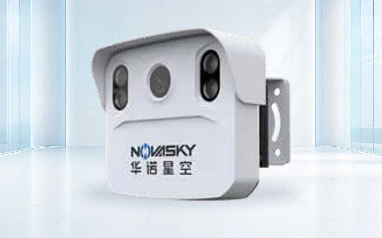
Road perception

Traffic data collection
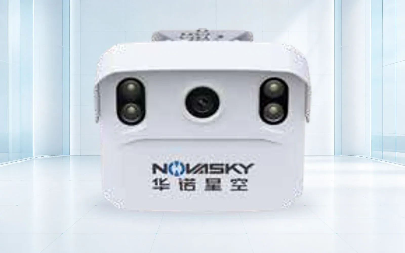
Road hazard warning

Bridge and height-bar protection
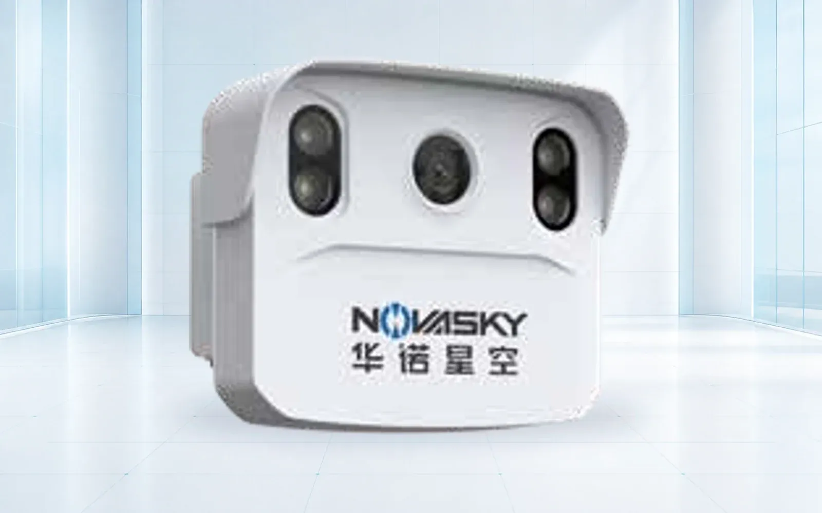
Restricted-lane awareness
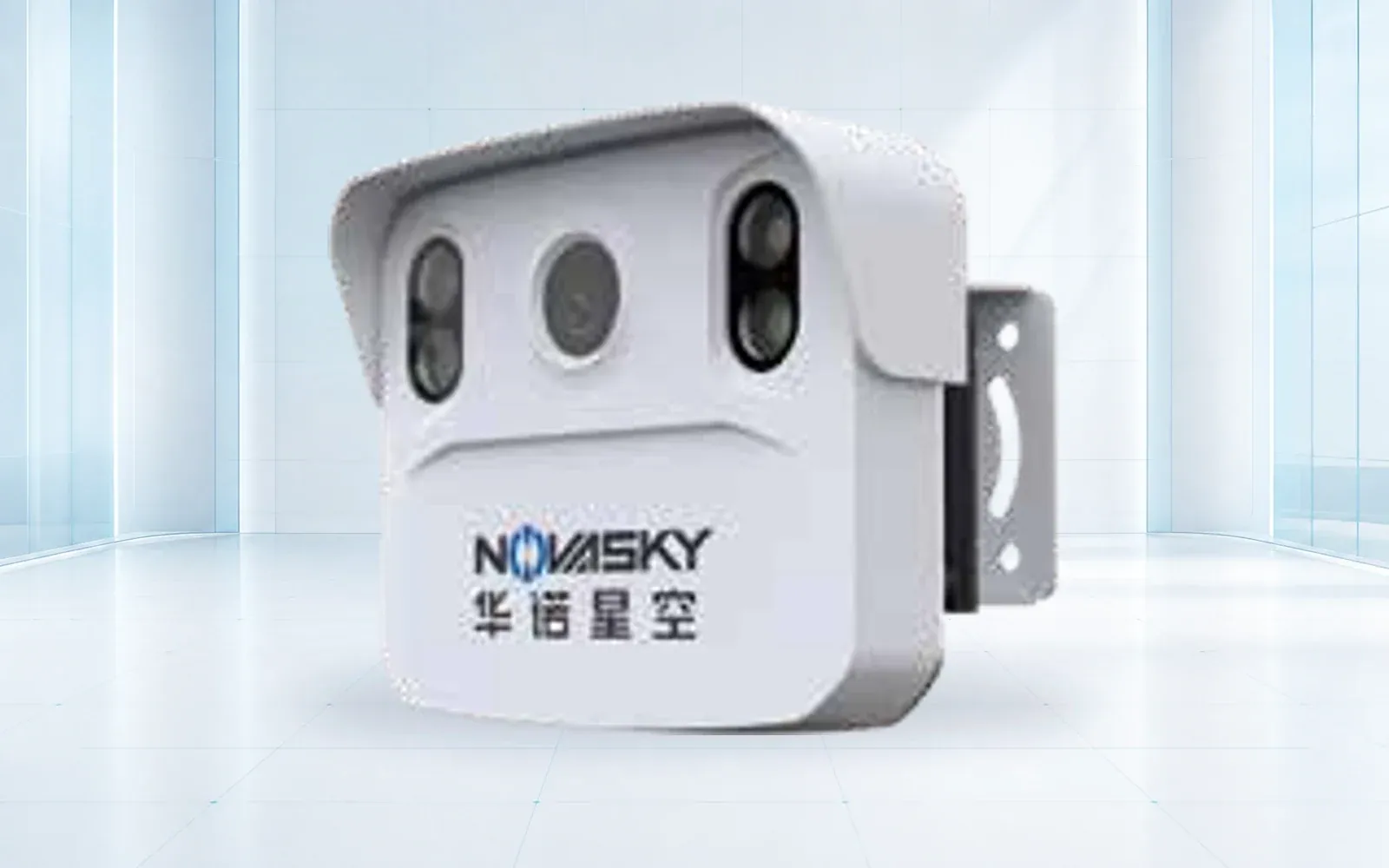
Speed and evidence
Technology pillars
Compare OMNI UXV radar-video traffic flow, speed, access, approaching-vehicle and collision-warning reference systems.
Open category guide →Explore OMNI UXV IRVMS command platforms for site-wide sensor integration, alert verification, mapping and coordinated incident workflows.
Open category guide →Evidence base
These sources provide public-sector or research context. The final project still requires destination-specific engineering, policy and legal review.
U.S. Federal Highway Administration
Official reference for sensor selection, installation and traffic-management applications.
U.S. Federal Highway Administration
Lifecycle reference for maintaining sensor performance.
Share the mission, operating environment, existing systems, destination and required evidence. We will return a traceable architecture and configuration shortlist.
Start a technical inquiry