Road intelligence · 6 configurations

Radar-Video Transportation Sensors

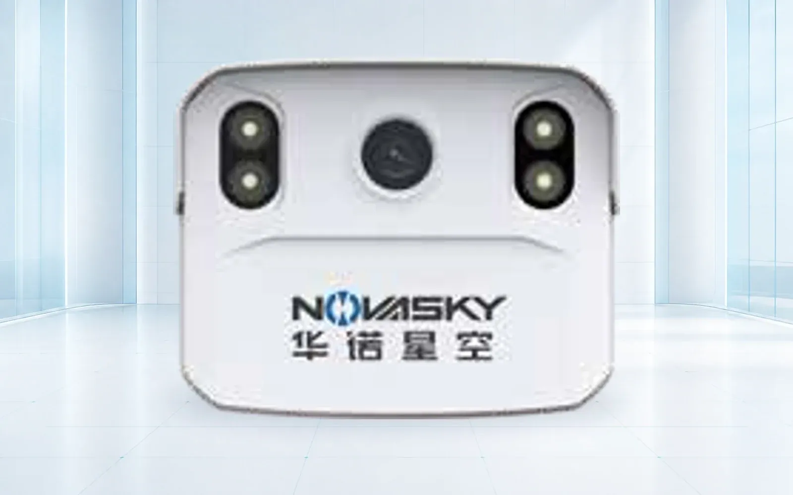
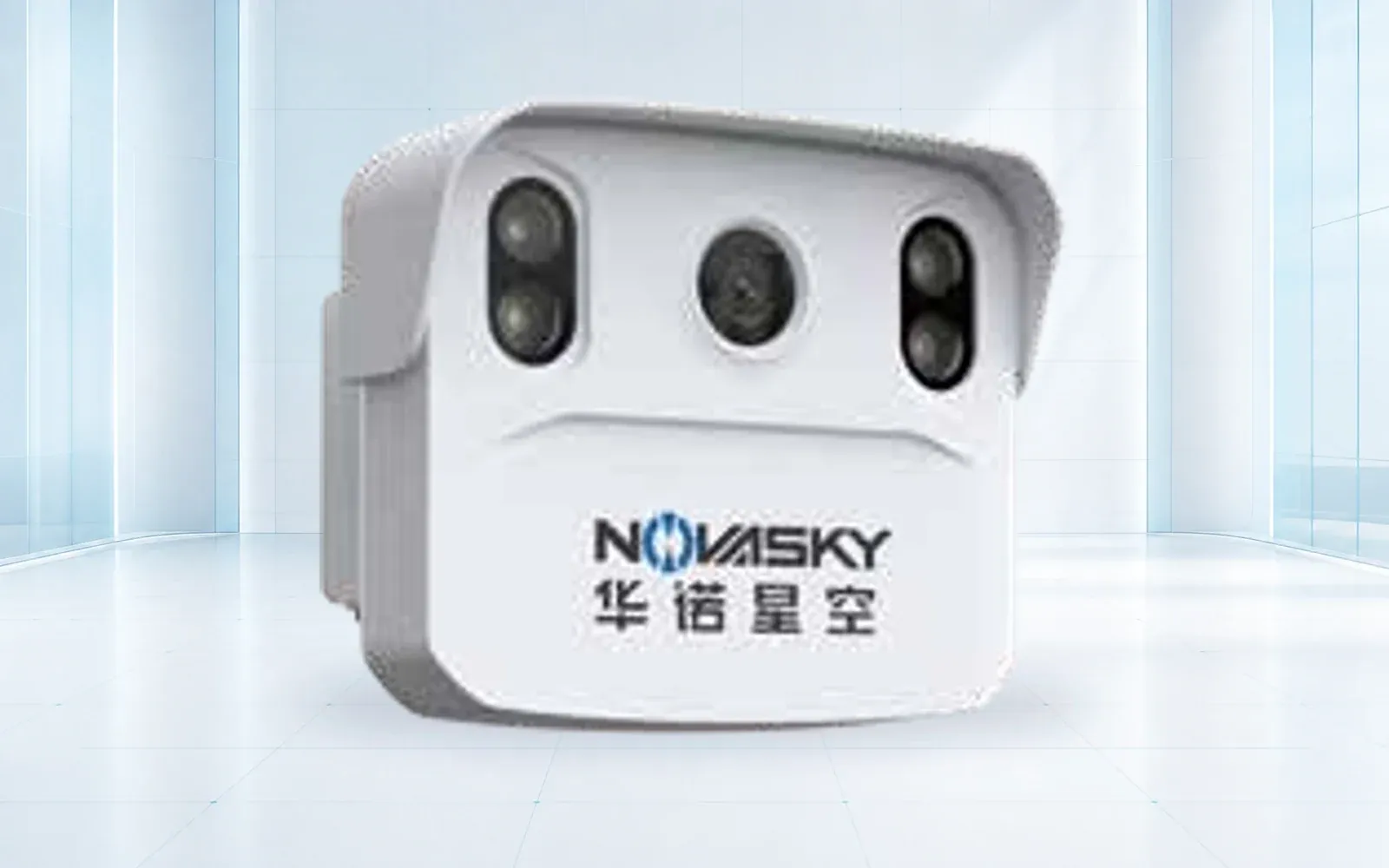
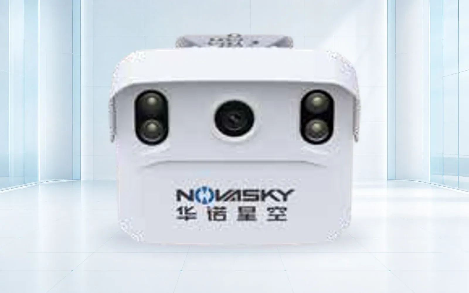
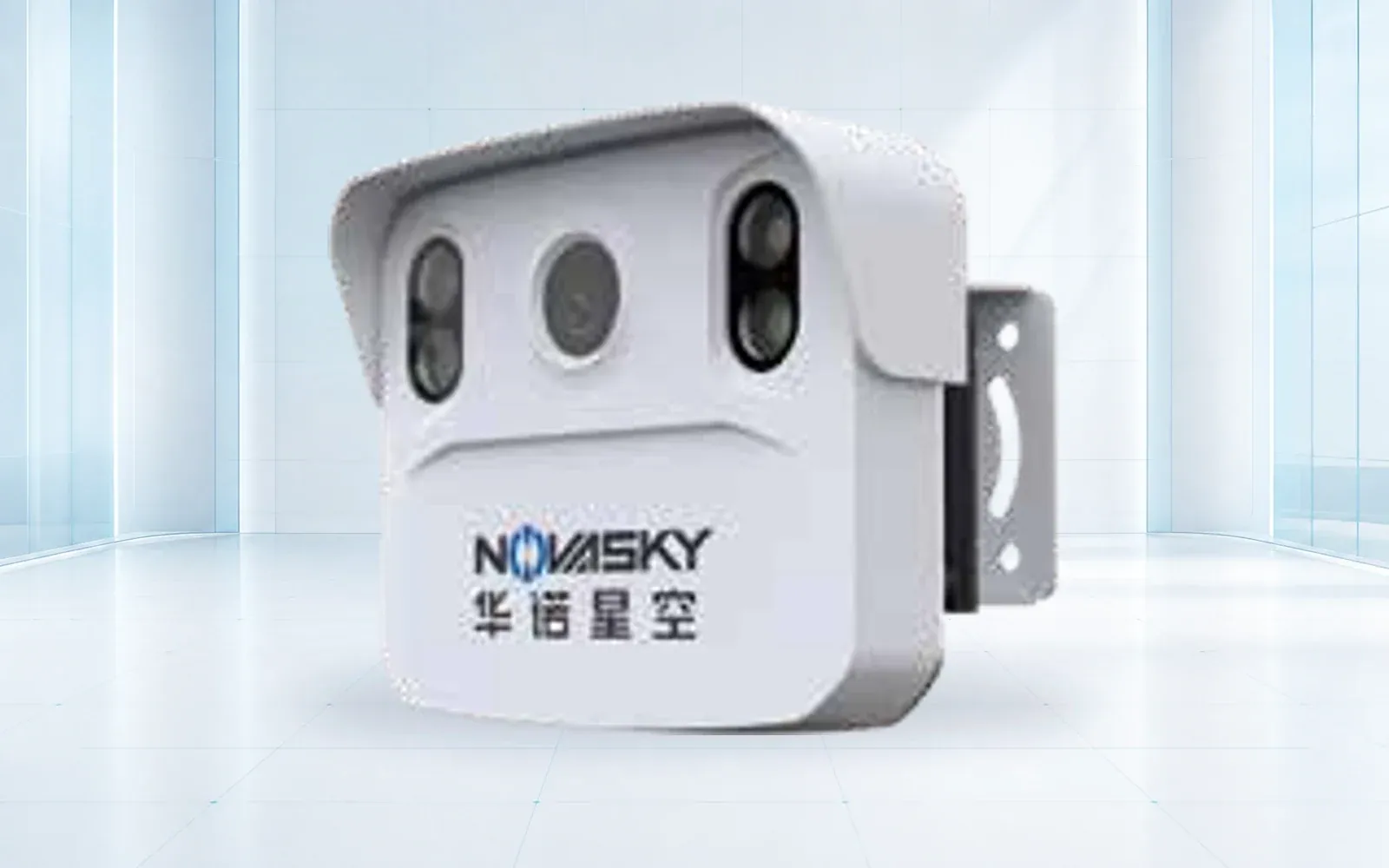
Compare OMNI UXV radar-video traffic flow, speed, access, approaching-vehicle and collision-warning reference systems.

Category brief

Start with the operating problem

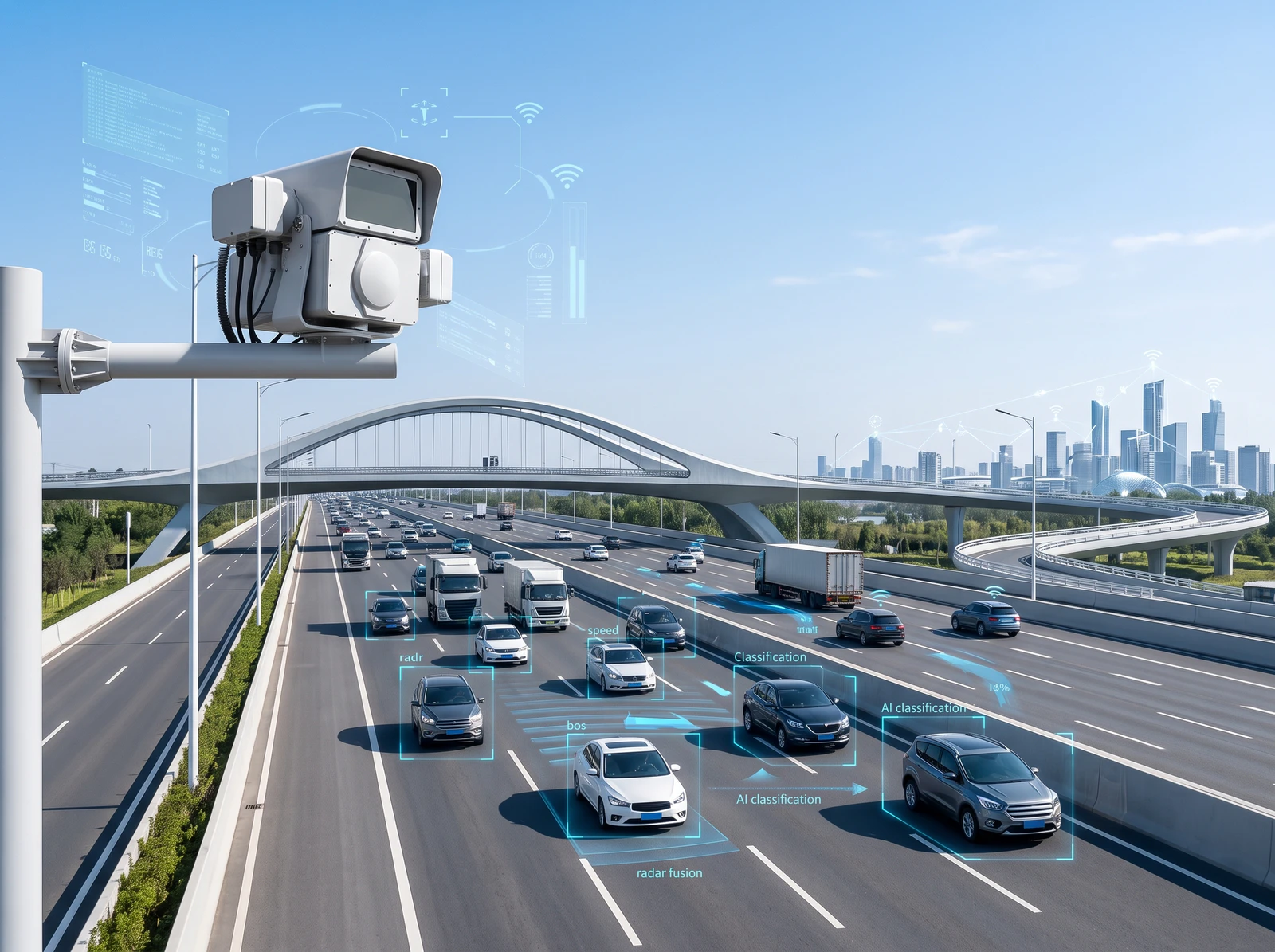
Radar-video fusion combines resilient motion measurement with visual context. The result can support flow analytics, speed enforcement, access control and warning systems when camera-only performance is limited by glare, darkness or weather.

A complete deployment includes sensor placement, calibration, network and power design, privacy controls, evidence retention and integration with the local traffic-management platform.

Product line

Smart Transportation products

Technology guide

How to specify radar-video traffic detection around the road decision

Radar-video traffic detection systems combine direct motion measurement with visual classification or evidence. The value of fusion depends on road geometry, mounting, lane assignment, event semantics, time synchronization and ongoing maintenance—not on combining two sensors in one enclosure.

A traffic-flow radar or vehicle detection sensor should be evaluated against the operational output: counts, class, speed, queue, access decision, warning or evidence. Each output requires its own reference method and acceptance tolerance.

Last reviewed: July 2026

01Counts, classes, speed and movement with visual context

Radar-video flow sensing

Radar supports range and speed while video adds classification and a reviewable image of the event.

Selection note: Survey lane geometry, mounting angle, large-vehicle occlusion, glare and expected density before calibration.

02Configured vehicle access, event capture and controlled-site records

Access and evidence sensing

A sensing unit can connect a vehicle observation to an access or security workflow.

Selection note: Define identifier, evidence, retention, authorization and integration behavior before deployment.

03Approach, speed or collision-risk warning at a specific location

Local warning sensor

Local logic can trigger a sign, light or alarm when a defined movement condition is met.

Selection note: Use site-specific zones, latency, fail-safe behavior and a traceable speed or distance reference.

04Health, aggregation, correlation, evidence and operator workflow

Transportation data platform

A platform receives sensor events and exposes device health, maps, trends and controlled evidence access.

Selection note: Freeze event schemas, time, duplicate handling, privacy, cybersecurity and outage behavior.

01

Road geometry

Capture lanes, curves, grades, mounting height, occlusion and detection zones.

02

Operational output

Specify alerts, evidence, counts, classifications, APIs and acceptable latency.

03

Governance

Define privacy notice, retention, access control and maintenance responsibility.

Quick comparison

Smart Transportation product comparison
ModelPrimary roleSelected specificationsDetails
TRVF-8221Road perceptionReference detection distance: ≥300 m · Tracked targets: Up to 256 reference targetsOpen →
TRVF-8221-SCOTraffic data collectionReference detection distance: 150 / 300 m configurations · Target capture rate: 99% reference test conditionOpen →
TRVF-8221-ACRestricted-lane awarenessReference detection distance: 150 / 300 m configurations · Tracked targets: Up to 256 reference targetsOpen →
TRVF-8221-SW1Road hazard warningReference detection distance: 150 m · Camera: 4 / 8 MP configurationsOpen →
TRVF-8221-SW2Speed and evidenceReference detection distance: 150 m · Speed range: 0–250 km/hOpen →
TRSW-8233Bridge and height-bar protectionAcceleration range: 0–16 g · Acceleration accuracy: ≤0.1 gOpen →

Buyer workflow

From requirement to accepted configuration

Use the same decision sequence for every shortlisted product so that published specifications, project assumptions and delivered evidence remain comparable.

  1. STEP 01

    Map the road and decision

    Record lanes, curves, grades, queues, occlusion, warning zones and required outputs.

    Output: Road geometry and event specification

  2. STEP 02

    Freeze the data contract

    Define fields, timestamps, identifiers, images, retries, duplicates, APIs and health.

    Output: Interface and governance baseline

  3. STEP 03

    Install and calibrate

    Align detection zones and lane mapping using representative vehicles and a traceable reference.

    Output: Calibration and configuration record

  4. STEP 04

    Accept in real traffic

    Sample performance across vehicle mix, density, light, weather, outage and recovery.

    Output: Lane- and event-level acceptance report

Acceptance evidence

What the project should verify before handover

Acceptance areaRequirementEvidence
Lane assignmentRepresentative vehicles are associated with the correct lane and movement.Matched reference sample
MeasurementCount, class or speed meets the agreed use-specific tolerance.Traceable comparison dataset
Event deliveryPlatform events contain correct identifiers, timestamps and evidence without duplicates.End-to-end event replay
Service healthOperators recognize alignment, network, storage or device degradation.Fault injection and recovery record

Before requesting a quotation

Questions a serious buyer should resolve

  1. 01Which traffic decision will use each measurement or event?
  2. 02How will curves, large vehicles, lane changes and roadside mounting affect visibility?
  3. 03What is the reference method and tolerance for each accepted output?
  4. 04Which identifiable imagery is necessary and how is access and retention governed?
  5. 05How does the platform report device, time, network and storage health?

Selection questions

Why combine radar and video?
Radar provides robust range and speed measurement, while video adds classification and visual evidence. Fusion can improve continuity and reduce ambiguity compared with either sensor alone.
Can sensors integrate with an existing platform?
Integration is evaluated against protocol, event schema, time synchronization, video transport, cybersecurity and API requirements.
How is accuracy validated after installation?
Commissioning should verify detection zones, lane mapping, speed reference, classification, event timing and performance across representative traffic and weather conditions.
ENGINEERING & CONSULTATION

Configure a Smart Transportation system

Share the site, mission, payload, performance target and destination country. Our team will return a traceable configuration rather than a generic product list.

Start a technical inquiry