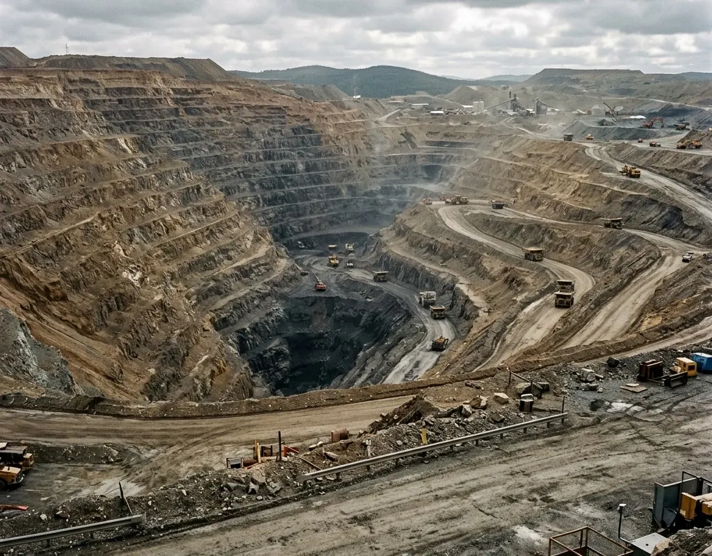
Ground behavior changes with the mine
Excavation, blasting, water, structures and access continually alter geometry and the meaning of a movement trend.
Movement evidence and response · Reference architecture
Slope radar, GNSS, aerial inspection and governed alarms configured around movement, warning time and operational response.
Operating context
Mine monitoring is not complete when a sensor reports displacement. It is complete when the site can distinguish meaningful acceleration, verify the evidence and take a pre-agreed action in time.
Radar, GNSS, laser and aerial observation cover different geometry and timescales. The architecture selects complementary methods and designs for power, communications, reference stability and harsh environmental conditions.
Problem definition
These challenge areas determine the architecture, operating model and acceptance evidence for the site.
Excavation, blasting, water, structures and access continually alter geometry and the meaning of a movement trend.
A displacement value is not an action until qualified personnel connect rate, persistence, area and warning time to consequence.
Reference, communications or sensor loss must trigger a known reduced-confidence procedure.
Layered architecture
Product references show a viable starting point. Interfaces, quantities, ranges and legal availability are confirmed during project engineering.
Non-contact radar observes broad slope surfaces and movement patterns.
GNSS or structural instruments provide independent point evidence and long-duration monitoring.
UAV imagery supports event assessment and inaccessible-area observation.
The operating platform records thresholds, acknowledgements, evidence and escalation.
Operating model
The operating model gives every sensing and platform layer a defined input, handoff and output.
Define hazards, expected mechanisms, exposed work and required lead time.
Output: Geotechnical monitoring basis
Combine area and point evidence where geometry and consequence justify it.
Output: Coverage and reference plan
Configure thresholds, verification, notification, operational pause and closure.
Output: Alarm register and role matrix
Inject alarms and outages, then revise after mine, instrument or interpretation changes.
Output: Scenario evidence and change record
Implementation sequence
The sequence is intentionally phased so that site facts, interfaces and operator behavior can change the design before broad deployment.
Survey references, movement zones, line of sight, environmental effects and communications.
Connect magnitude, rate, persistence and confidence to named site actions.
Inject alarms and outages to test notification, verification, evacuation or operational pause.
These are design outcomes, not a claim that a specific result has already been achieved at an unnamed customer site. Project acceptance criteria are agreed for the configured system.
Acceptance matrix
| Area | Requirement | Evidence |
|---|---|---|
| Coverage | Priority slope or subsidence areas are measured at the required interval. | Coverage and reference verification |
| Movement recognition | Controlled or replayed change is detected and located. | Known-change test result |
| Alarm action | The correct roles verify and act within the planned warning time. | Timed alarm exercise |
| Degraded monitoring | Outage and conflicting evidence produce the approved site response. | Fault and corroboration test |
Equipment context
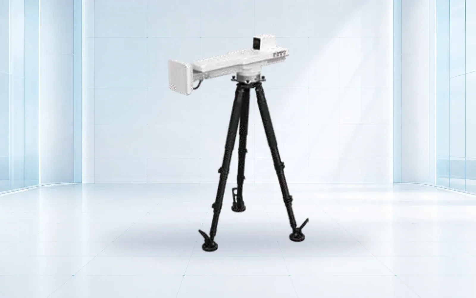
Persistent deformation monitoring
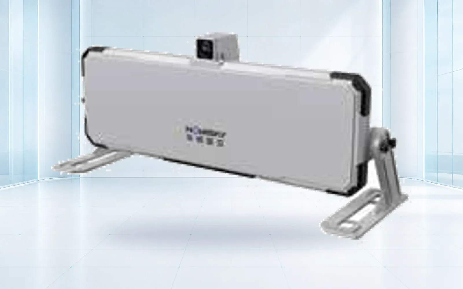
Fast-update deformation radar
Point displacement monitoring
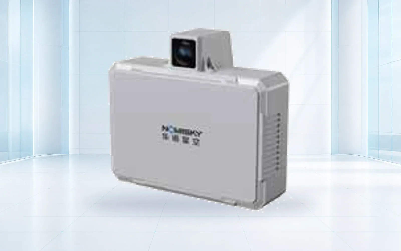
Fixed-site monitoring

Survey and mapping platform

All-weather multirotor
Technology pillars
Compare OMNI UXV slope radar, structural monitoring, laser scanning and GNSS instruments for mines, slopes, dams and emergency sites.
Open category guide →Compare OMNI UXV VTOL, multirotor and heavy-lift UAV reference configurations for inspection, mapping, logistics and public-safety missions.
Open category guide →Explore OMNI UXV IRVMS command platforms for site-wide sensor integration, alert verification, mapping and coordinated incident workflows.
Open category guide →Evidence base
These sources provide public-sector or research context. The final project still requires destination-specific engineering, policy and legal review.
NIOSH Mining Program
Current collaboration focused on monitoring practice, thresholds and early instability detection.
NIOSH Mining Program
Technical investigation of radar interferometry for slope movement monitoring.
Share the mission, operating environment, existing systems, destination and required evidence. We will return a traceable architecture and configuration shortlist.
Start a technical inquiry