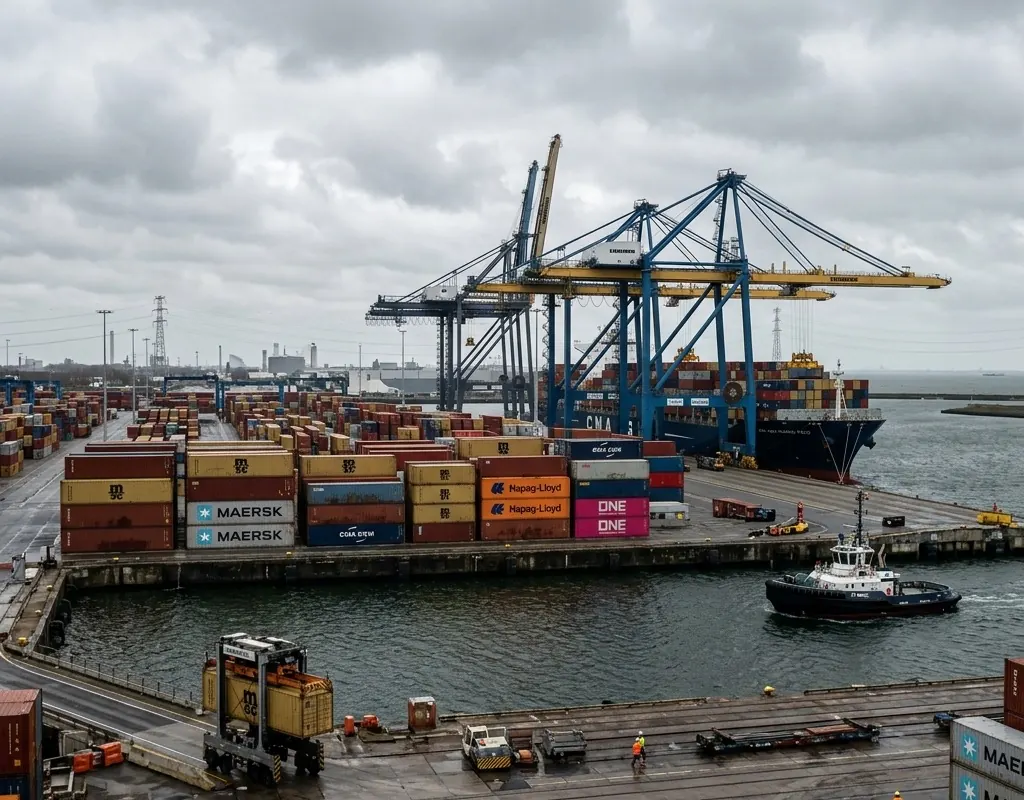
The operating picture crosses domains
Air, land, surface and underwater events are often owned by different teams with different maps and records.
Above and below water · Reference architecture
A coordinated approach to aerial awareness, waterside observation, underwater search and infrastructure inspection.
Operating context
Ports combine moving vessels, restricted areas, critical structures, public interfaces and difficult underwater visibility. Separate teams often own waterside security, facilities, marine operations and cybersecurity.
The reference architecture links above-water awareness to underwater search and inspection, with evidence location and handoff designed before an incident.
Problem definition
These challenge areas determine the architecture, operating model and acceptance evidence for the site.
Air, land, surface and underwater events are often owned by different teams with different maps and records.
Current, turbidity, traffic, structures, tether and positioning affect what sonar or an ROV can prove.
A clear image has limited maintenance or security value if another crew cannot return to the same target.
Layered architecture
Product references show a viable starting point. Interfaces, quantities, ranges and legal availability are confirmed during project engineering.
UAV and counter-UAS sensors support perimeter and airspace observation.
Side-scan sonar efficiently searches corridors and identifies follow-up targets.
ROV and imaging sonar support structure, hull and intake assessment in limited visibility.
IRVMS correlates sensor events, maps assets and records response.
Operating model
The operating model gives every sensing and platform layer a defined input, handoff and output.
Map berths, approaches, intakes, hulls, piles, exclusion zones and responsible teams.
Output: Asset and consequence map
Use planned sonar coverage, positioning and target identifiers to find anomalies.
Output: Georeferenced target register
Task an ROV or imaging layer to confirm, measure or work at the target.
Output: Close evidence and task result
Connect underwater evidence to port security, marine operations and maintenance.
Output: Common incident or inspection record
Implementation sequence
The sequence is intentionally phased so that site facts, interfaces and operator behavior can change the design before broad deployment.
Map depth, current, turbidity, structures, traffic, launch sites and response ownership.
Test search, target marking, ROV follow-up, time synchronization and handoff.
Run above- and below-water scenarios including network, weather and access constraints.
These are design outcomes, not a claim that a specific result has already been achieved at an unnamed customer site. Project acceptance criteria are agreed for the configured system.
Acceptance matrix
| Area | Requirement | Evidence |
|---|---|---|
| Search coverage | Required water or asset surfaces are surveyed without unexplained gaps. | Coverage plot and raw sonar |
| Target relocation | A second pass can reacquire a marked anomaly. | Repeat approach and uncertainty |
| Close inspection | The evidence supports the defined security or asset decision. | Accepted video, sonar or measurement |
| Cross-team handoff | Marine, security and maintenance teams access a consistent record. | Integrated scenario exercise |
Equipment context
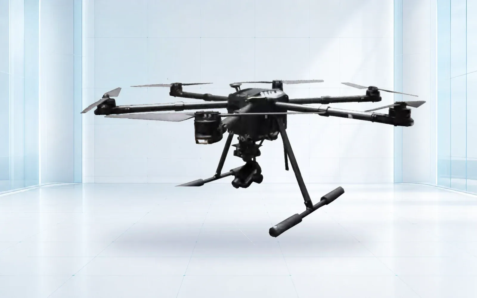
All-weather multirotor
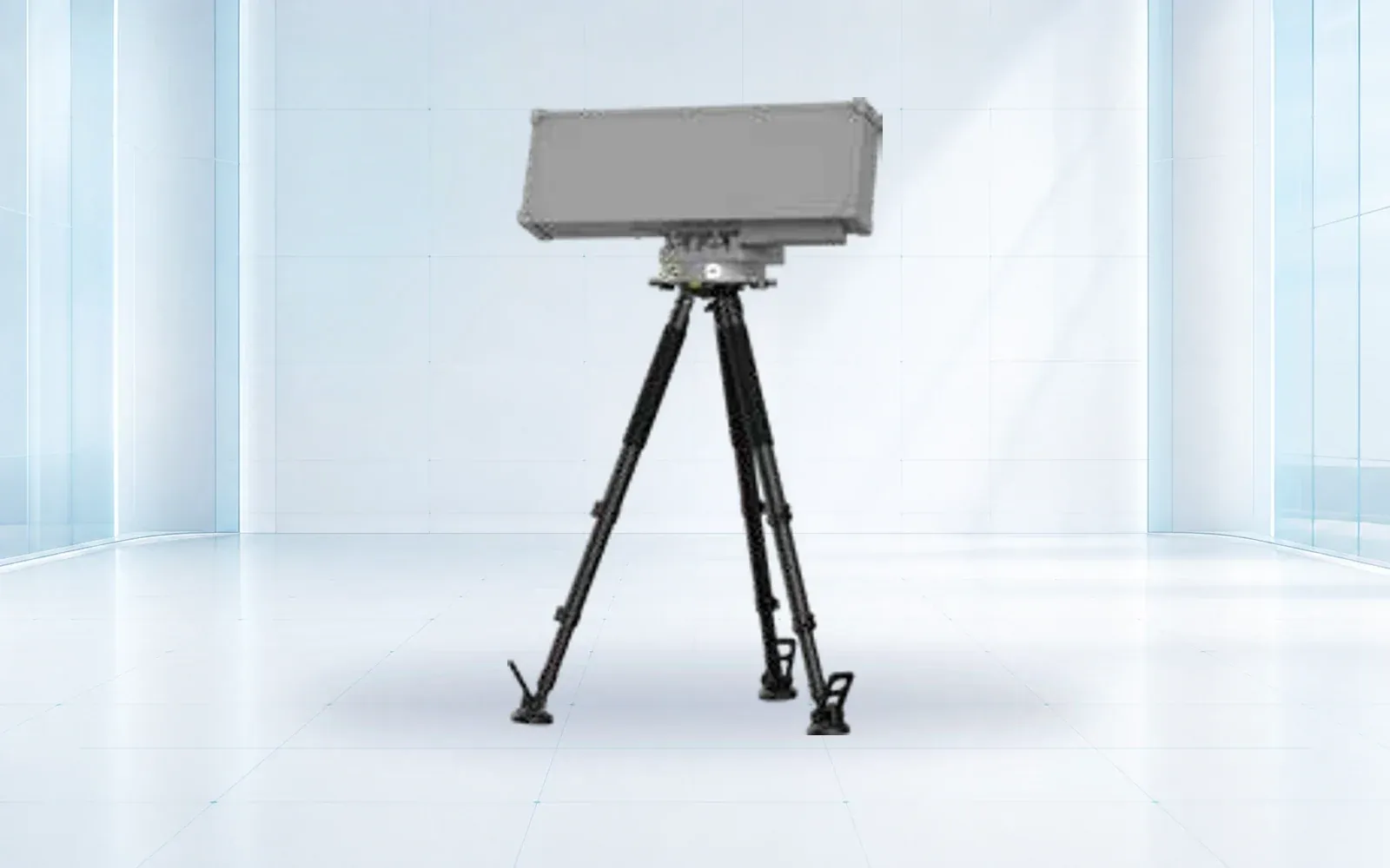
Low-altitude detection
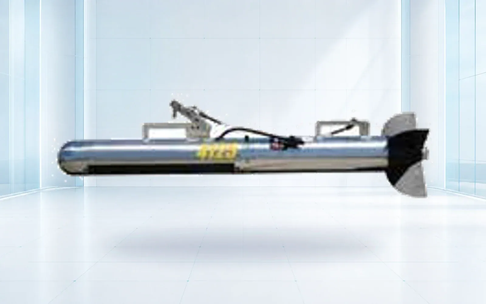
Seabed imaging
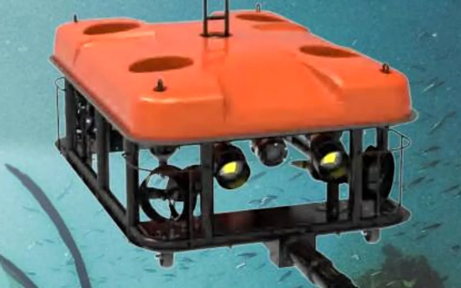
Modular underwater robot
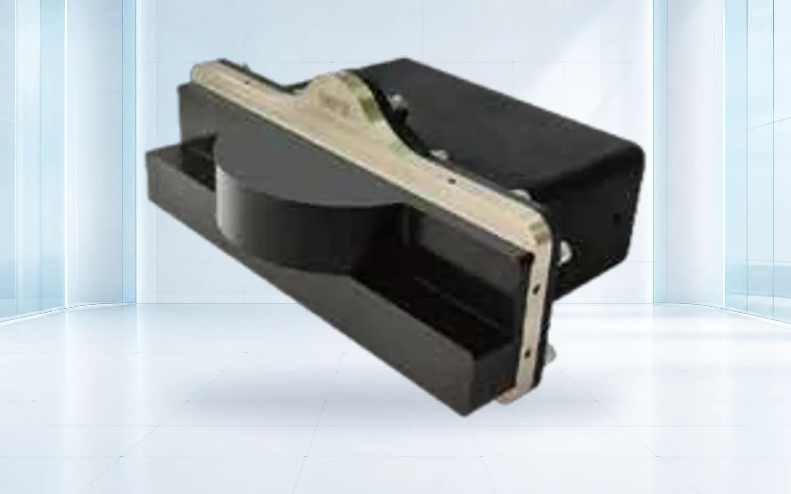
Underwater perception
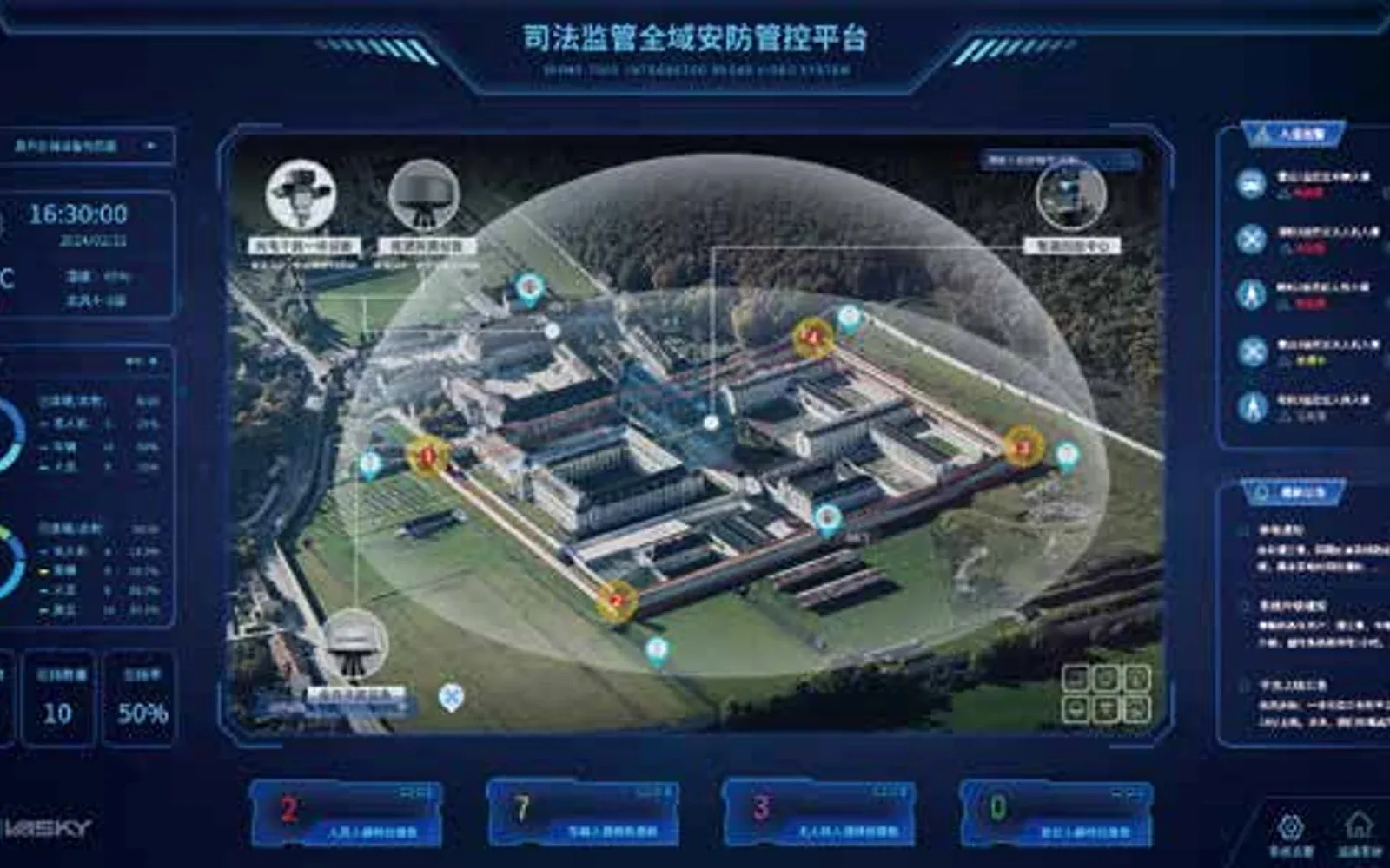
Port and waterfront command
Technology pillars
Compare OMNI UXV VTOL, multirotor and heavy-lift UAV reference configurations for inspection, mapping, logistics and public-safety missions.
Open category guide →Compare OMNI UXV radar, RF, electro-optical, jamming and navigation-response components for layered low-altitude security projects.
Open category guide →Explore OMNI UXV observation and work-class ROVs, hull-cleaning platforms, side-scan sonar and underwater imaging instruments.
Open category guide →Explore OMNI UXV IRVMS command platforms for site-wide sensor integration, alert verification, mapping and coordinated incident workflows.
Open category guide →Evidence base
These sources provide public-sector or research context. The final project still requires destination-specific engineering, policy and legal review.
U.S. Coast Guard
Current guidance emphasizing underwater survey planning and evidence.
U.S. Coast Guard
2026 policy context for unmanned maritime operations.
Share the mission, operating environment, existing systems, destination and required evidence. We will return a traceable architecture and configuration shortlist.
Start a technical inquiry